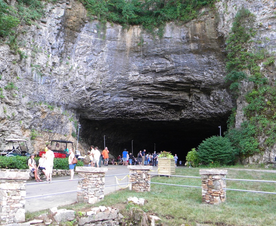
This photo of Ruskin Cave in Dickson County reminds us that Tennessee has more caves than any other state.
Everyone loves lists. We have come up with eight things about Tennessee geography that surprise people.
Here they are:
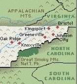 1) South Carolina is west of Tennessee
Surely, this can’t be true, can it? South Carolina lies along the Atlantic Ocean. Tennessee is an inland state, west of the big long state of North Carolina.
Tennessee is west of South Carolina — right?
As a matter of fact, parts of South Carolina are west of parts of Tennessee. If you look at this map, you can see that northeast Tennessee is further east than the western parts of South Carolina.
In 1780, several hundred men from what is now northeast Tennessee met at the Sycamore Shoals of the Watagua River. They marched across the mountains in pursuit of a Tory army led by British Commander Patrick Ferguson. They found Ferguson at a place called Kings Mountain, defeated him, and turned the tide of the American Revolution.
It is interesting to think that some of these men were actually moving (slightly) to the west!
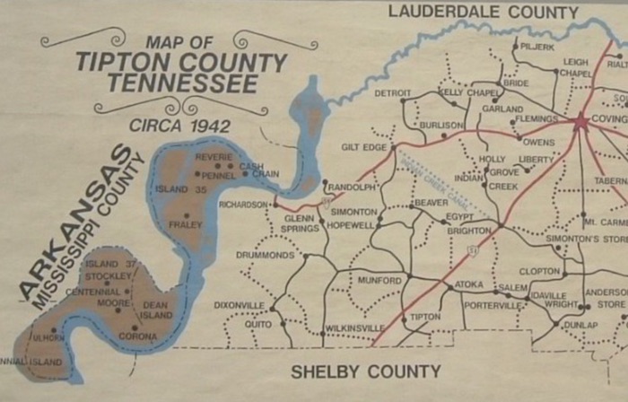
Parts of Tipton County are west of the Mississippi River!
2) The Mississippi River is not the western boundary of Tennessee.
In part one of this section, we talked about the misconception that the Mississippi River is the western boundary of Tennessee. It once was, of course, but the river has moved so many times that in many places, the river is miles away from the state line.
It is not common knowledge that the river has moved in this manner.

A small cave in Cheatham County
3) Tennessee has more caves than any other state.
Kentucky may have the best-known and the largest cave in the world (Mammoth Cave). But Tennessee has more than 8,000 caves — the most in the United States.
Most of these caves are either too small for people to enter or on private property, with “no trespassing” signs in front of them. But there are some you are welcome to visit, such as Cumberland Caverns in Warren County, Raccoon Mountain Caverns in Hamilton County, Forbidden Caverns in Sevier County and the Lost Sea in Monroe County.
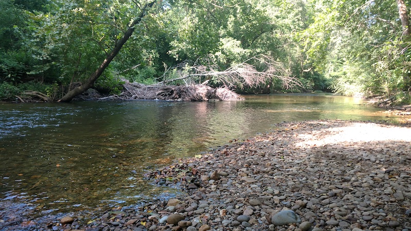
The Conasauga River in Bradley County
4) Not all rivers in Tennessee flow into the Cumberland, Tennessee or Mississippi.
From one end of Tennessee to the other, you will find creek after creek and river after river that eventually flows into either the Cumberland, Tennessee or Mississippi rivers — with one exception.
It is called the Conasauga River, and you will find it in southeast Tennessee, in Polk County. The Conasauga River starts in Georgia, flows northward into Tennessee, and then comes back into Georgia, eventually merging with the Coosa River and Gulf of Mexico.

Clay County may have the finest people in the world, but it isn’t growing very fast!
5) There are counties in Tennessee that have hardly grown since the Civil War.
On this web site, Crockett County is cited as an example of a county that has grown little in the last century and a half. There are many others.
In fact, there are 9 counties in Tennessee that have less than 10,000 residents — those being Clay, Hancock, Houston, Lake, Moore, Perry, Pickett, Trousdale and Van Buren.

Knoxville is a great town! But it isn’t on a “rocky top.”
6) Elevation-wise, Knoxville is lower than Cookeville, Kingsport, Erwin and Crossville.
People often associate Knoxville with the nearby Great Smoky Mountains and with the University of Tennessee, an institution whose fight song is “Rocky Top.” Because of this, people often think that Knoxville’s elevation is higher than it really is.
Keep in mind that, like most cities, Knoxville is located on a river. So its elevation isn’t all that high.
Along the banks of the Tennessee River in Knoxville, the elevation is about 800 feet, and there are hilltops in Knoxville that rise to over 1,000 feet. But compare this to the base elevation of Cookeville (1,140) Kingsport (1,208), Erwin (1,673) and Crossville (1,900).

It’s hot at a July 4 parade in Nashville!
7) The summertime temperature in Nashville is about five degrees higher than the temperature in Crossville.
In the eastern part of the United States, people think about temperature as a function of latitude (how far north you are). But temperature is also a function of altitude (how high you are).
Crossville has an elevation of about 1,900 feet, while Nashville’s is around 600 feet. Furthermore, Nashville is located in the bowl-shaped Central Basin of Tennessee. When there is a heat wave in the summer, the high temperature might be 98 in Nashville, but only 93 in Crossville.
In fact, the average August temperature in Nashville is 89, but it is 84 in Crossville. That’s a big difference!
8) Memphis is much closer to Dallas, Texas, than to Mountain City, Tennessee
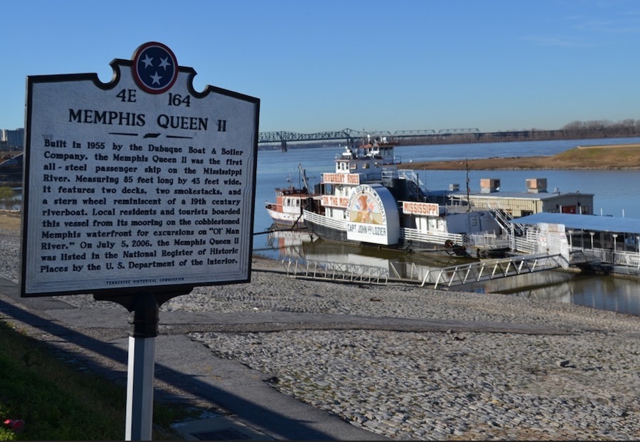
This spot in Memphis is MUCH closer to Dallas, Texas, than it is to Mountain City, Tennessee
It is 450 miles from Memphis to Dallas..
It is 550 miles from Memphis to Mountain City, which is the northeastern-most county seat in Tennessee.
(By the way, it is only 375 miles from Mountain City to Washington, D.C.)
Length-wise, Tennessee is much larger than people realize.
You’ve completed the Advanced Geography section! Now it is time for the interactive geography quiz.
Click here.