
This map shows the six physical regions of Tennessee.
MAP: Sherrie Collie, Collinwood Middle School
Parts of Tennessee look and feel completely different than other parts. Tennessee is, in some areas, so steep that it’s hard to get around, while in other places the state is as flat as can be. In some parts of Tennessee, there are rivers all over the place, while in other parts of the state it’s a lot harder to find one.
To describe the terrain, people often divide the state into six physical regions.
Moving from west to east:
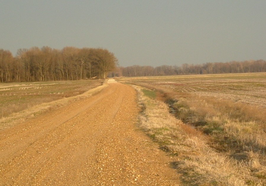
Dyer County, part of the Gulf Coastal Plain
1. Gulf Coastal Plain
The western third of the state — the entire Grand Division of West Tennessee — is Gulf Coastal Plain. This is where the elevation of the state is lowest and the land is flattest.
Agriculturally, the Gulf Coastal Plain has been known for its production of cotton, although today you will find some soybeans and corn fields in that part of the state.
Large parts of the West Tennessee and the Gulf Coastal Plain are flat. You can tell this by looking at a map of Tennessee and noticing that so many of the highways are straight. In all parts of the United States, straight roads are a sign of flat areas.
The largest cities in the Gulf Coastal Plain are Memphis and Jackson.
2 and 3. Highland Rim and Central Basin

Here, where Rutherford County meets Coffee County,
the Central Basin begins to climb into the Highland Rim.
Middle Tennessee is divided into two regions. The outer ring of Middle Tennessee is called the Highland Rim. It is dominated by rolling hills and valleys. Some of the hills are gradual, while some are quite steep.
The Central Basin is lower than and completely surrounded by the Highland Rim. You might think of the Central Basin as a bowl, surrounded by the Highland Rim.
In this era of the interstate superhighway, it can be hard to distinguish between the Central Basin and the Highland Rim. But it you look for it, you’ll notice the change. The next time you ride southeast on Interstate 24 (from Nashville to Chattanooga), notice how flat it is in Rutherford County. But when you get to Coffee County you go slightly uphill for a few miles. That, you see, is where the Central Basin becomes the Highland Rim.
If you look up the elevations of cities that are in the Central Basin and those that are in the Highland Rim, you will notice a slight difference. Nashville (600 feet), Franklin (650 feet) and Murfreesboro (620 feet) are in the Central Basin. Lawrenceburg (900 feet), Manchester (1,060 feet) and Cookeville (1,140 feet) are in the Highland Rim.
4. The Cumberland Plateau
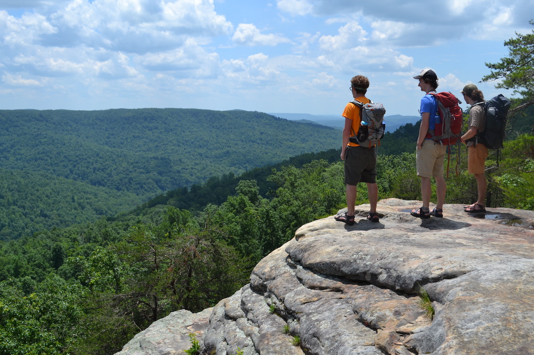
Bee Rock in Putnam County is a great place to stand atop the Cumberland Plateau
As you ride through Tennessee, you suddenly go WAY up elevation wise at the Cumberland Plateau, a rugged upland region that extends from the Kentucky border in the north to the Georgia and Alabama border to the south.
The top of the Cumberland Plateau is between 500 and 900 feet higher than the land lying to the west and east of it. Because of this, the plateau gets colder weather and more snowfall than land on both sides of it.
The Cumberland Plateau was an important barrier in early Tennessee history. Before steamboats and railroads, many travelers moved from east to west Tennessee using a route that went through the lowest point of the Cumberland Plateau — the Cumberland Gap.
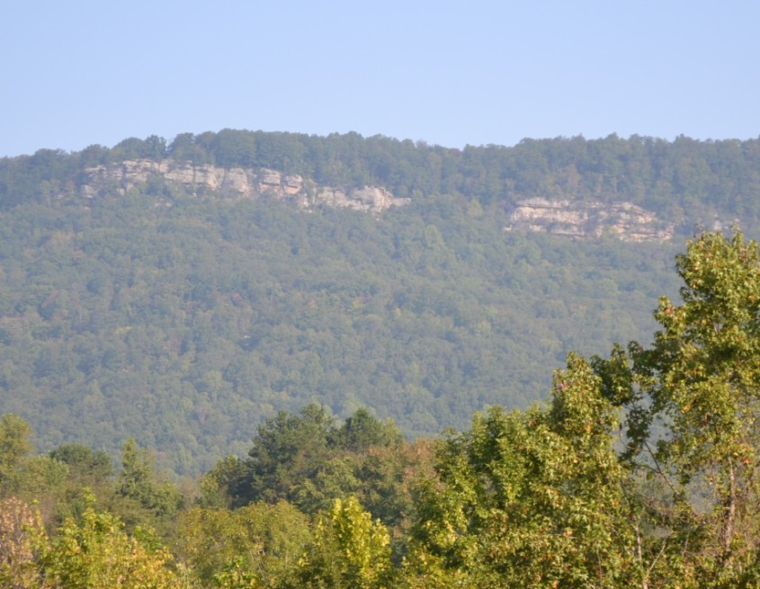
The Cumberland Plateau viewed from the town of Rockwood
After the Civil War and the development of railroads, mining became big in the Cumberland Plateau. Most of these mining towns have long been abandoned.
By the way, there is a remarkable valley that cuts through the middle of the Cumberland Plateau. It is called the Sequatchie Valley, and it runs about five miles wide through the heart of Marion, Sequatchie and Bledsoe counties.
5. Valley and Ridge
The valley and ridge, as you might expect, is a series of valleys divided by ridges that run through most of east Tennessee.
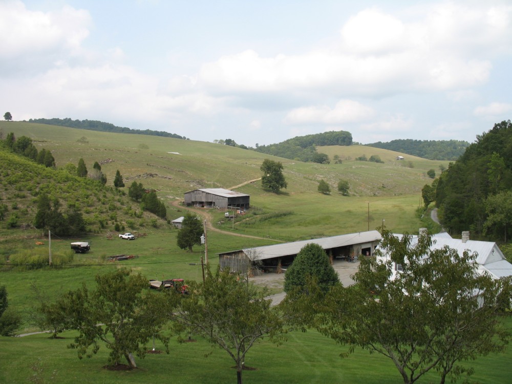
This Hawkins County farm is in the Valley and Ridge region
The ridges in the Valley and Ridge section of Tennessee run in a northeast to southwest direction. Because of this, most of the major roads in the Valley and Ridge section go from southwest to northeast.
The largest ridge in the Valley and Ridge is Clinch Mountain — a 4,000 foot ridge that runs from the western edge of Grainger County up into Virginia. Until recently, people who lived on one side of Clinch Mountain rarely saw or heard from people who lived on the other side of Clinch Mountain.
The city of Knoxville lies at the heart of the Valley and Ridge. Knoxville is close to where the Holston and French Broad rivers merge to form the Tennessee River.
6. The Unaka Mountains
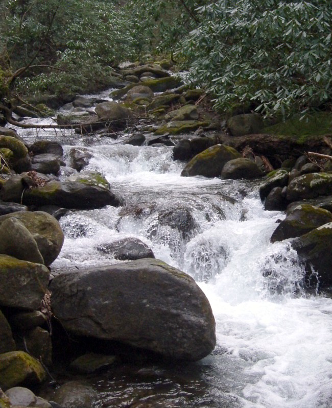
A creek in the Unaka Mountains
The Unaka Mountains run along Tennessee’s border with North Carolina. They contain rugged terrain, rushing streams and heavily forested slopes.
It’s a great place to visit. But early settlers found it to be a rough place to cross and difficult place to farm.
The Great Smoky Mountains are not the same as the Unaka Mountains, but are a “subset” of them. Within Tennessee, the phrase “Great Smoky Mountains” refers to the part of the Unaka Mountains in parts of Cocke, Blount and Sevier counties.
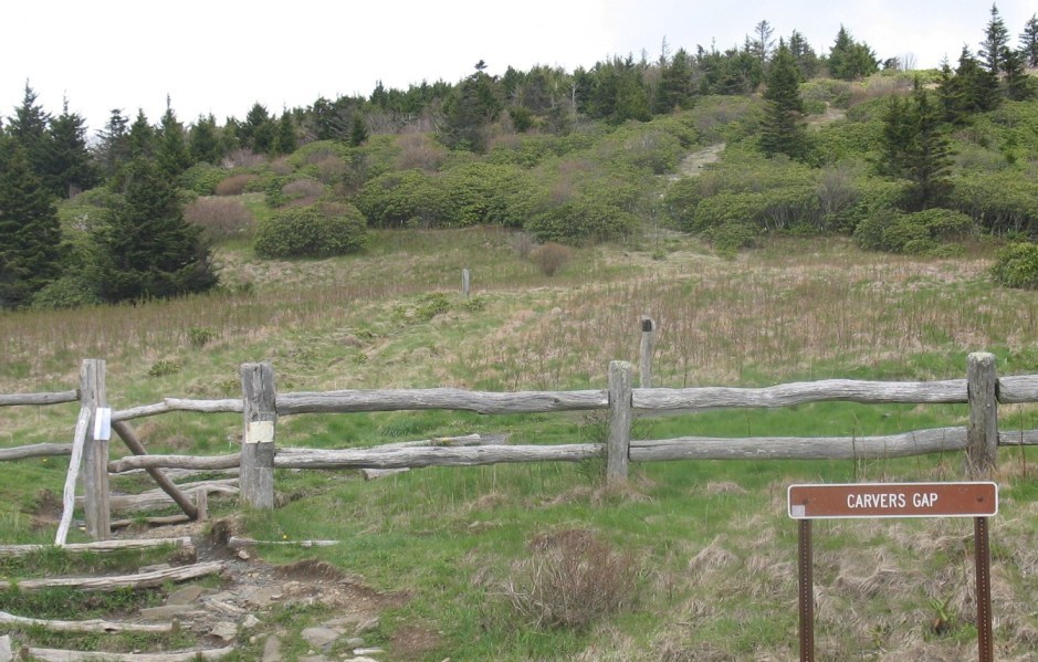
Carvers Gap
All of Tennessee’s early settlers had to pass through the Unaka Mountains on foot, on a horse, or in a wagon led by a horse. They would have done so at slight “gaps” in the mountains, such as Carvers Gap in northeast Tennessee.
Click here to go to the next chapter, about Tennessee’s counties.