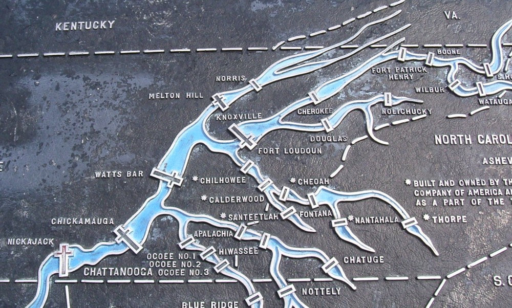
Can you tell what the symbol
for a dam is on this TVA map?
When you drew your first map, you probably drew things the way they looked. For example, if you drew a map of your school and the area around it, you probably drew small trees that look like real trees.
That’s fine. What you did is use a small picture of a tree as the symbol of a real tree.
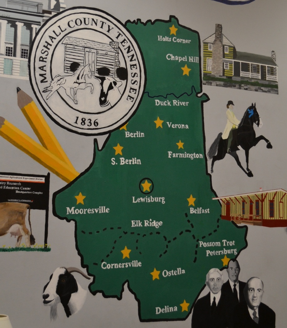
This map was painted by students at
Marshall County High School.
What symbol did they use for a town?
Symbols are things that represent other things. All maps use symbols.
Let’s say you were looking at a map of your hometown.
On that map, black lines probably symbolize roads. Blue lines symbolize rivers. The color green might symbolize a park. Dots might symbolize houses. A fireman’s hat might symbolize the fire station.
Here’s another thing you should know about maps:
Some of the things shown on a map are not actually things you can see in real life.
Take, for instance, the map of your hometown. One of the things a map of your hometown might show is the city limits (the place where the town begins and ends). But there is no actual line, or fence, at the city limits. It’s an invisible boundary.

A map of Buttermere
Here’s a map we found of a lake in England called Buttermere. Look closely at this map.
Blue symbolizes water. The big body of water in the middle is Lake Buttermere, and the blue lines are creeks.
The gray lines symbolize roads.
The red broken lines symbolize foot trails.
There are other symbols. Can you guess what they mean?
Actually, you don’t need to guess. Do you see the section of the page in the lower right corner? That’s called a key — the part of the map that explains what symbols mean.

You can see the four cardinal directions at the map of Tennessee at the Bicentennial Mall Capitol State Park.
One more thing about maps:
Long ago, mapmakers came up with four directions — north, south, east and west (often abbreviated N, S, E and W). These directions don’t change. “True” north is in the same direction now as it was 1,000 years ago.
See if your teacher, or your parent, can explain to you which direction is north, south, east and west. In general, the sun rises in the east and sets in the west (although, in truth, it does get a bit more complicated than that).
You might also see if your teacher can show you a compass. A compass is a tool whose arrow always points north. Get a compass and walk around with one and you’ll see what we mean. You can walk in a circle all day, but the needle of a compass will always point the same direction!
Once you feel like you understand what a map is, let’s move onto the next section, where we draw a map of Tennessee.
Click here.