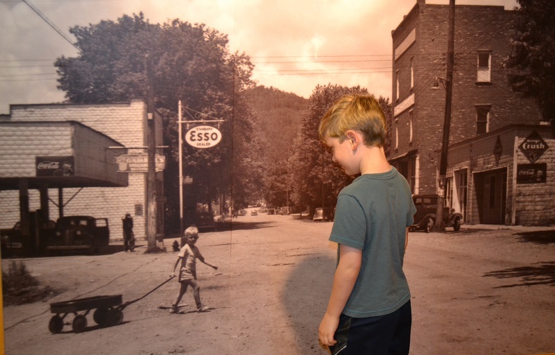
A young visitor to the Butler Museum
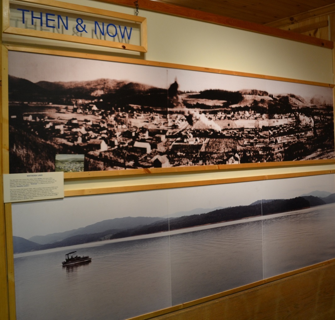
This photo at the Butler Museum shows what the former site of the town used to look like and what it looks like now.
Johnson County contains Butler, which is know as the “town that wouldn’t drown.”
Butler was flooded by the Tennessee Valley Authority when Watauga Lake was created in the late 1940s. However, the story of the town is wonderfully told at a small museum which contains all sort of artifacts that were set aside and preserved before the town was moved.
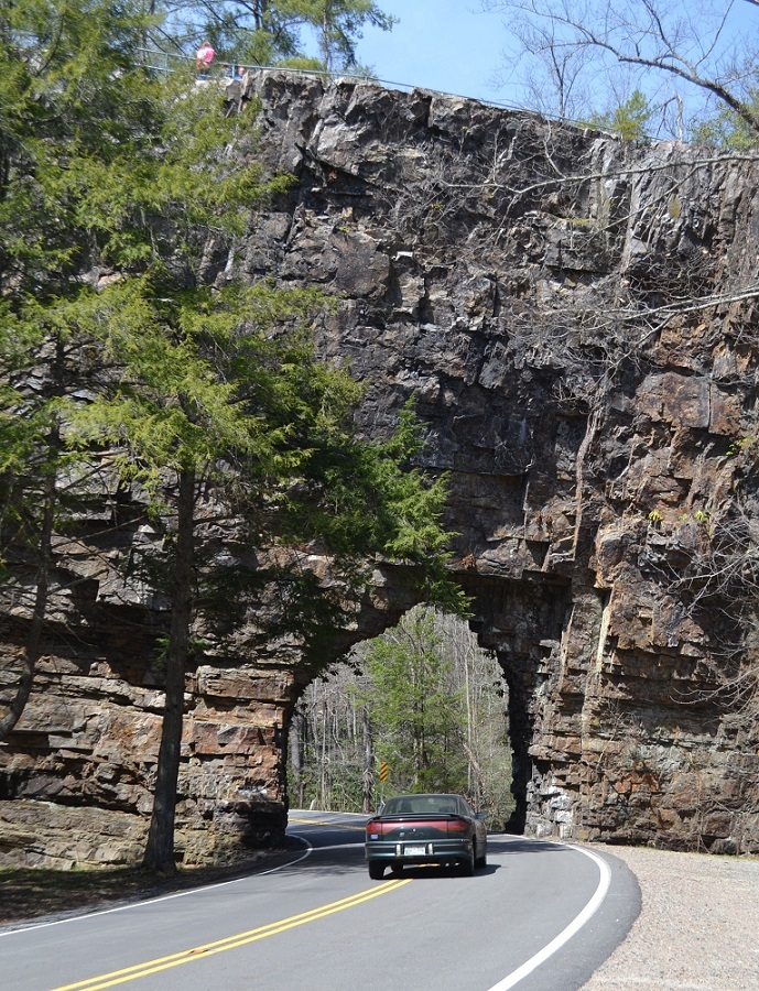
Backbone Rock photographed from the highway
Not far from the Virginia-Tennessee border in Johnson County is Backbone Rock–sometimes referred to as the “shortest” tunnel in the world.
The tunnel, between Shady Valley, Tennessee, and Damascus, Virginia, was originally blasted through for the railroad. Today, Tennessee State Route 133 passes through it (as you can see to the left)…
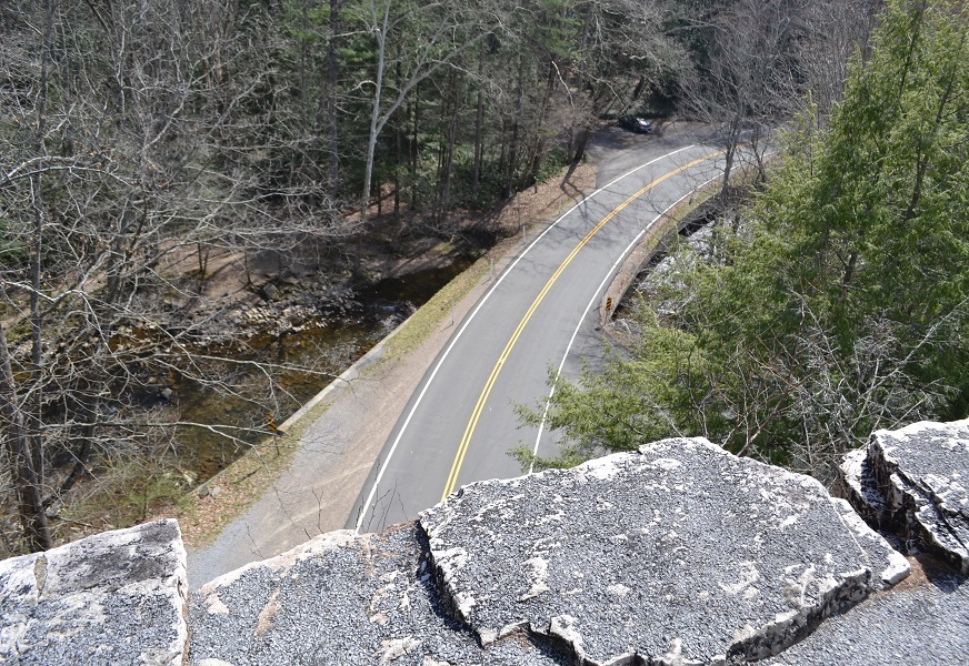
The highway photographed from Backbone Rock
…and a short hiking trail passes over it (as you can see to the right).
Johnson County is one of seven east Tennessee counties that contains parts of the Appalachian Trail.
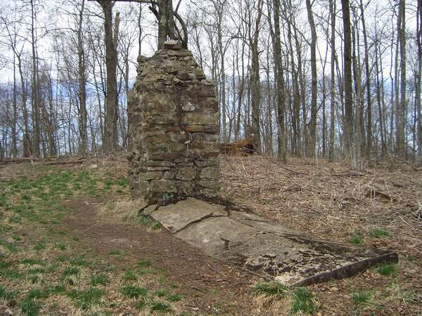
The Grinstaff Monument is a stop on the
Appalachian Trail in Johnson County
The trail runs 2,175 miles through Maine, New Hampshire, Vermont, Massachusetts, Connecticut, New York, New Jersey, Pennsylvania, Maryland, West Virginia, Virginia, North Carolina, Tennessee and Georgia.
There are people who have hiked the ENTIRE Appalachian Trail; it takes about four to six months.
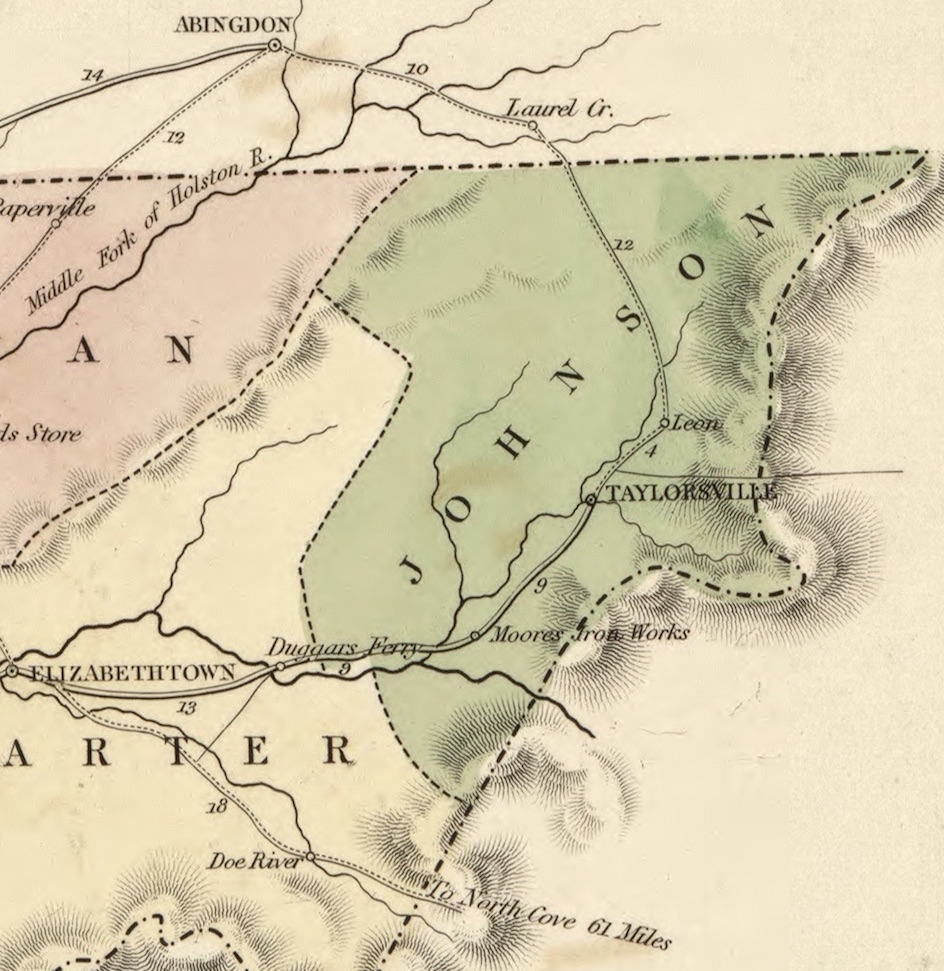
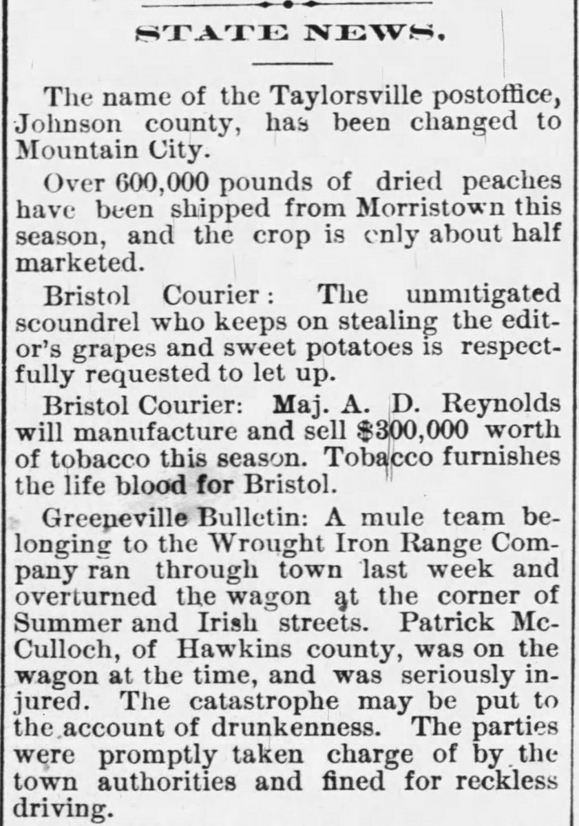
When Johnson County was first created, the county seat was named Taylorsville. However, Taylorsville was renamed Mountain City in the 1885 (see article on the right side of this webpage).
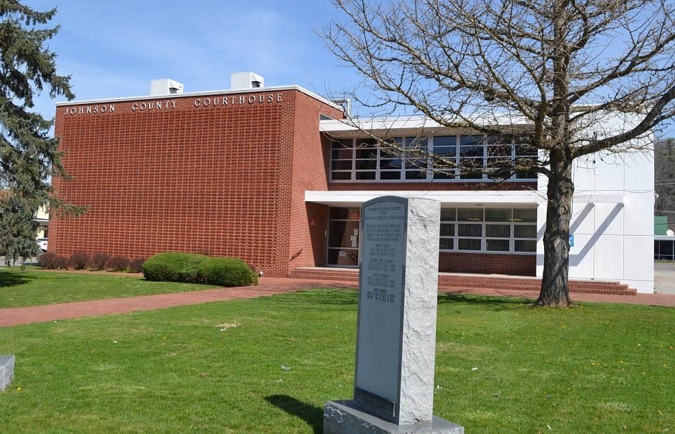
And here’s the Johnson County Courthouse.