You can see the Cumberland Gap behind the post office in
the town of Cumberland Gap.
The Cumberland Gap is a low point in the Cumberland Mountains near where Tennessee, Kentucky and Virginia all meet. And it is, without a doubt, one of the most important pieces of land in American history.
A long time ago, when people had to walk or take a horse to get from Point A to Point B, this relatively flat trail was the easiest way to get through the mountains. It was, therefore, the path generations of Native Americans and early pioneers took. Between 1760 and 1850, almost 300,000 people walked, rode, or were carried through the Cumberland Gap.
The Cumberland Gap and the mountains around it is now a national historical park. We’ll show you around.
The Cumberland Gap
American pioneers weren’t the first to “discover” the gap. Bison were migrating through the Cumberland Gap long before humans did. Native Americans used the gap for centuries, sometimes in peaceful trade missions and sometimes on the way to attack other tribes.
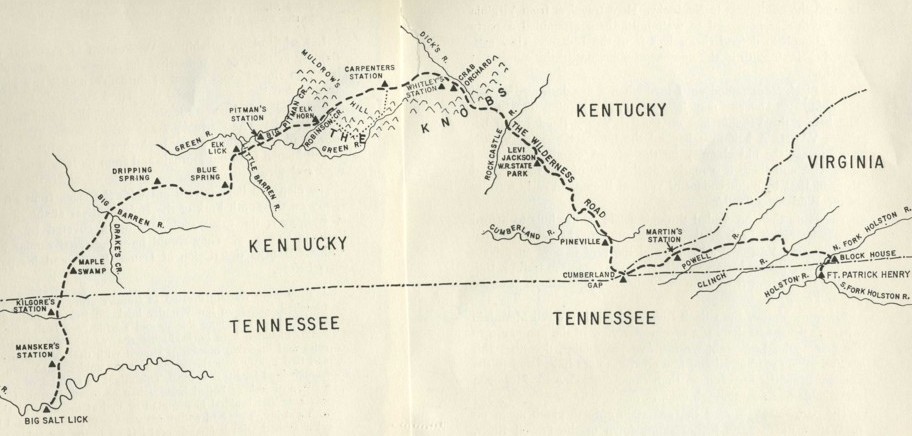
This map shows the old “Wilderness Road”
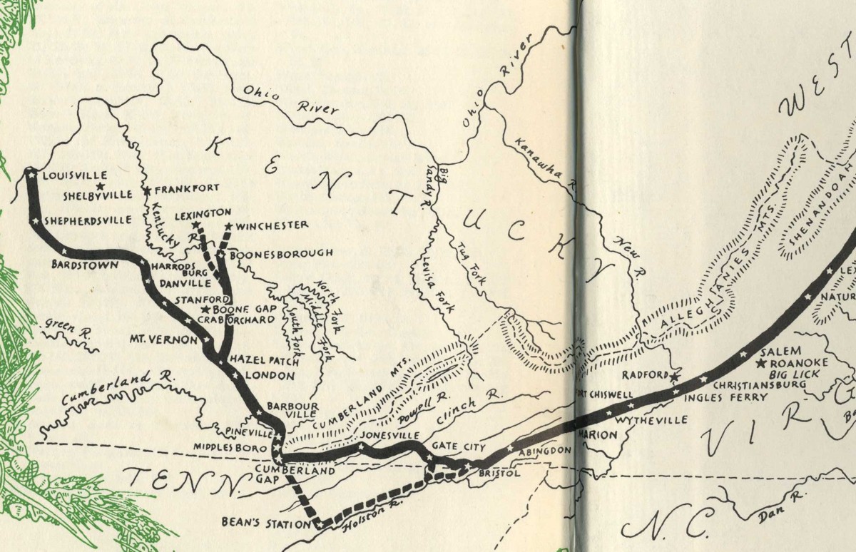
We also need to explain that the Cumberland Gap was a converging point for two major pioneering routes. The better known of the two was the Wilderness Road, which took pioneers from Northern Virginia to the present site of Louisville, Kentucky. A group of men led by Daniel Boone blazed the Wilderness Road in 1775, much of it along new passageways and some of it along bison and Native American Trails.
The route taken through the gap to Middle Tennessee
Another pioneering route through the gap is sometimes known as the Tennessee Road. People who left northeast Tennessee bound for Middle Tennessee came through the gap. When James Robertson led a party of men to settle French Lick (now Nashville) they came through the gap.
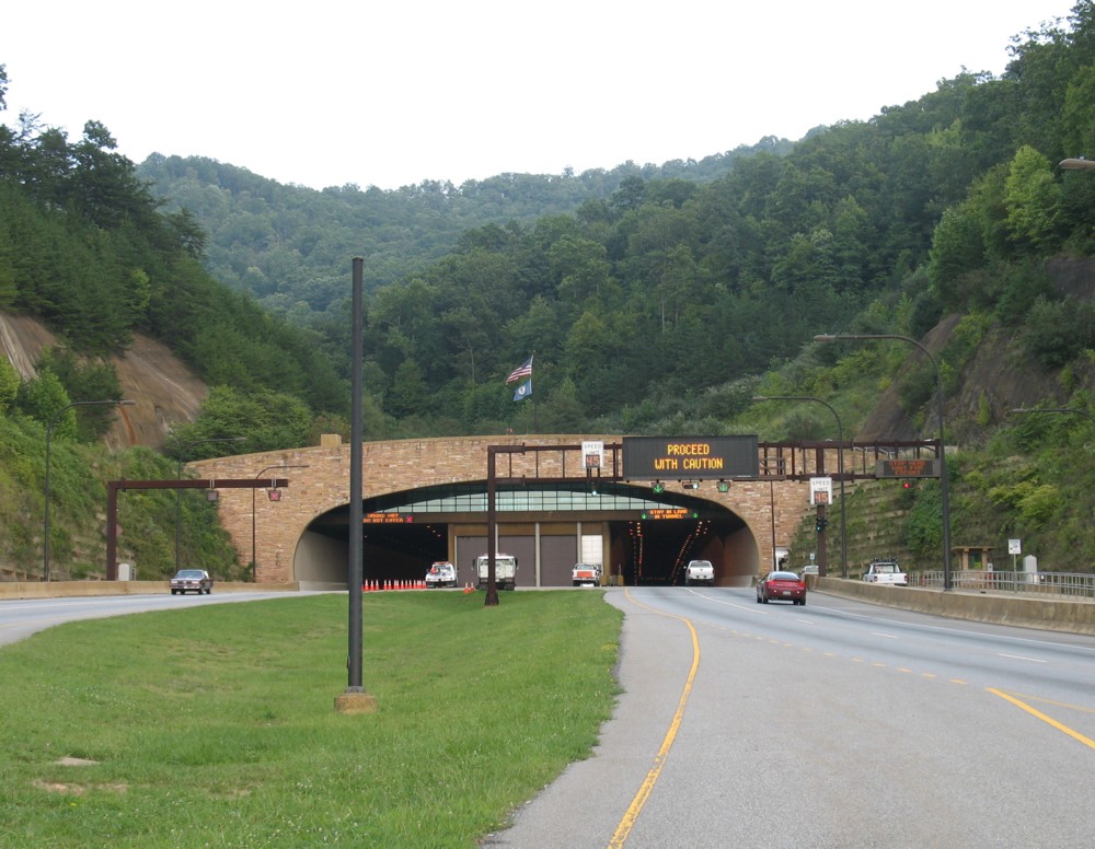
The road tunnel through the Cumberland Gap
Through most of the 20th century, a two-lane highway went through the gap. But in 1996 the two-lane road was removed and replaced with a four-lane tunnel that goes under the mountain. This tunnel is quite an adventure in itself (it’s pretty cool to ride through!). But its existence means that the gap itself is back to being a foot path, like it was for pioneers in the late 18th century.
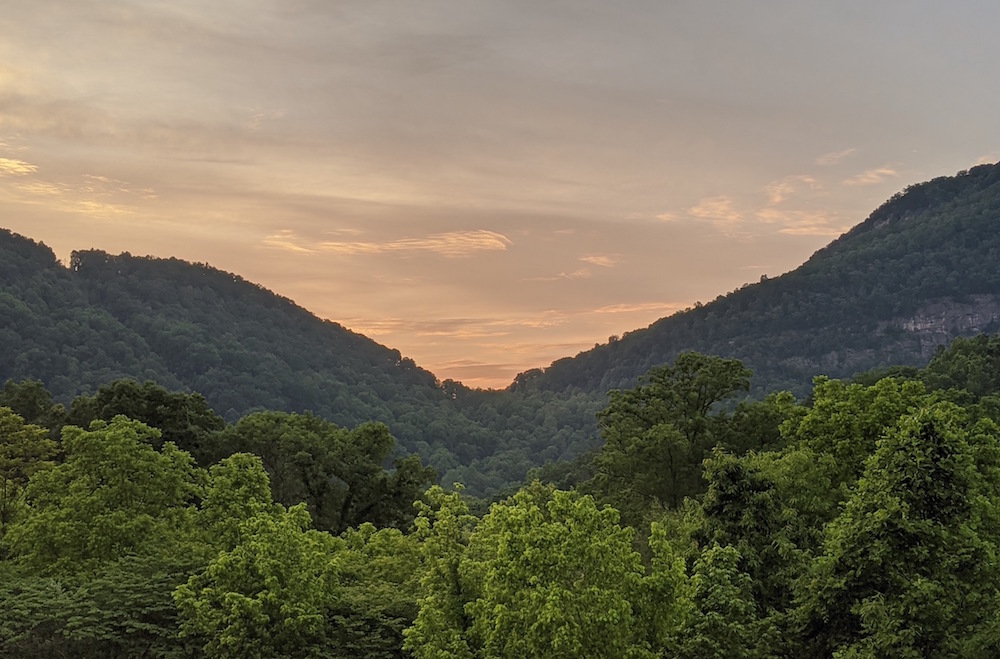
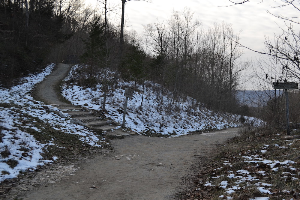
There are short trails that take you to the gap from both directions. I recommend driving into the small town of Cumberland Gap, Tennessee, and walking up from there. As you can see, it’s a pretty place.
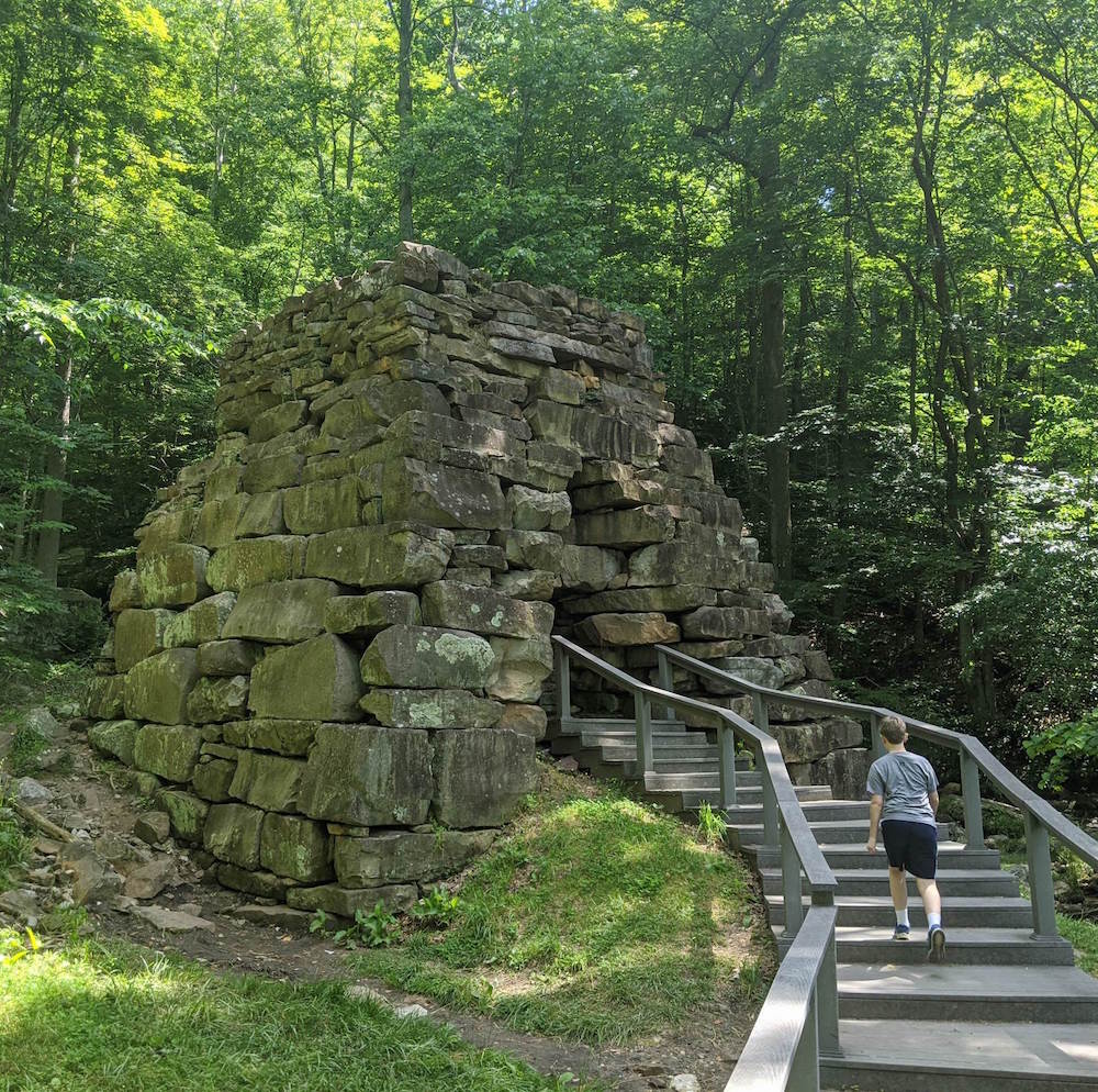
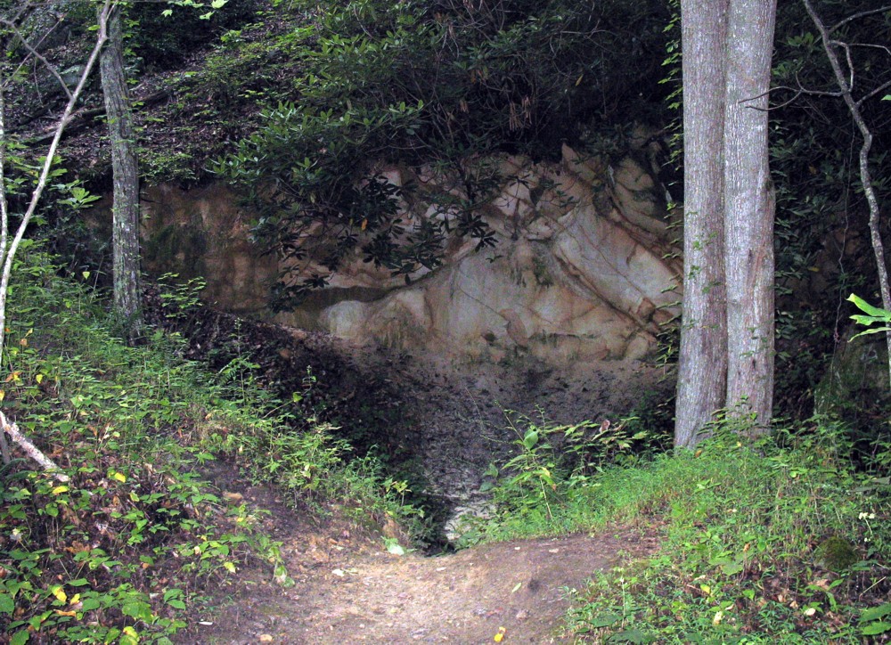
Newlee’s Iron Furnace
The first thing you’ll see is the remains of an iron furnace, which was in operation from about 1820 until 1880. Here, limestone and iron ore were heated by coal and converted to “pig iron,” which was then shipped to factories.

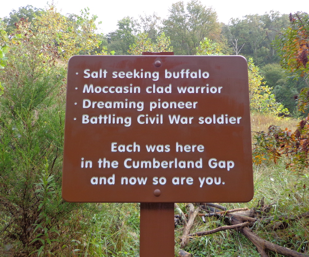
A sign along the way
From here, head up the trail about half a mile. Along the way you’ll see signs such as this one that (on the left) explain the history of the gap. If you look closely, you’ll also see the remains of an inn where travelers would stop along the way.
Here is where the foot path crosses the actual “saddle”
of the Cumberland Gap.
Then, after a few twists and turns, you come out of the woods onto the gap itself. You’ll know you have arrived because of two things: one, the trail stops going uphill and begins going downhill, and two, there is a small sign that simply says “Historic Cumberland Gap.” This is it: the “saddle” of the gap, or the exact place where the trail passes through the mountain pass.
A historian named Frederick Jackson Turner once said this: “Stand at Cumberland Gap and watch the progression of civilization, marching single file — the buffalo following the trail to the salt springs, the Indian, the fur-trader and hunter, the cattle-raiser, the pioneer farmer — and the frontier has passed by.”
A sign at the “saddle” of the Cumberland Gap
If you turn left at the gap and head up the trail to “Tri State Peak,” you’ll see three more interesting things. The first is a monument put there by the Daughters of the American Revolution.
The hole formed by the Civil War-era explosion
A little further you will see a big hole in the ground on the right side of the trail. During the Civil War, the gap was considered important strategically. At one point, retreating Union troops destroyed all their armaments and explosives, which were stored here, rather than let them fall into Confederate hands. The explosion was so great that it formed this hole in the ground.
There are plaques for Virginia, Kentucky and
Tennessee at the tri-state marker.
Finally, you come to the spot where Tennessee, Kentucky and Virginia converge (Lines are drawn that show you the exact state lines). A few feet away you’ll see a sign that indicates that this was the “Royal Colonial Boundary” of 1665. In 1665, surveyors established this spot to be the far edge of their American colony. Colonists weren’t supposed to go any further into America than this spot.
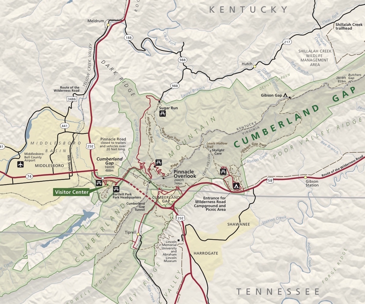
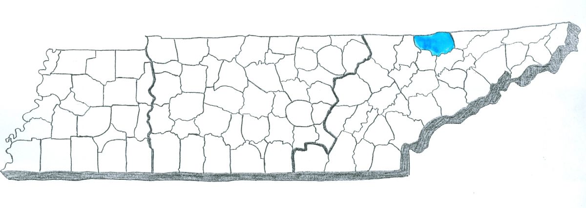
This map (click on it to make it larger) actually only shows part of the Cumberland Gap National Historical Park
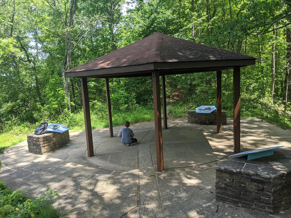
We’ve only begun to scratch the surface about all there is to see and do at the Cumberland Gap National Historical Park.
There is a visitor’s center, a road that takes you to an overlook called The Pinnacle, a cave you can tour, a preserved pioneer village called the Hensley Settlement, and much more.

The view of Tennessee at the Pinnacle overlook